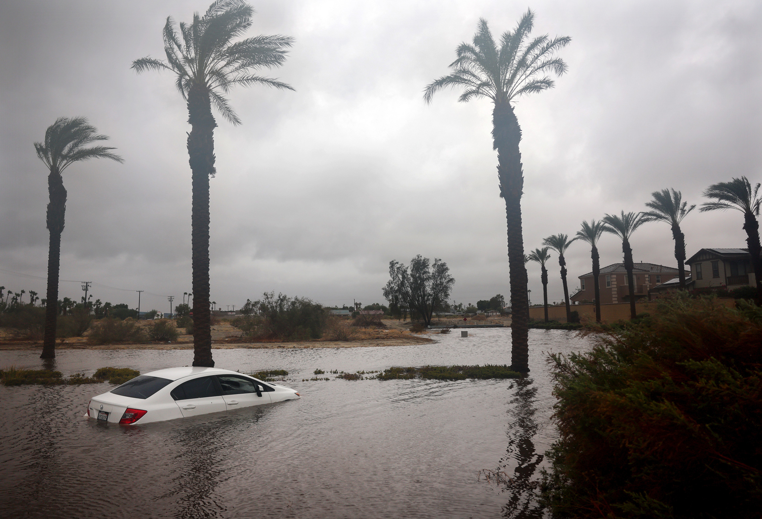
As Hurricane Norma slows to a stall in the Pacific Ocean, its impacts in Texas are highly dependent on another system approaching from the Pacific Northwest.
As of Friday afternoon, Hurricane Norma had wind speeds of 110 miles per hour and was churning off the western coast of Mexico. It was headed toward Mexico at 8 mph and is expected to be near the southern part of the state of Baja California on Friday night into Saturday, according to a recent update from the National Hurricane Center (NHC). It is the third major storm to approach Mexico in two weeks.
Norma is expected to continue its gradual weakening but is still forecast to be a hurricane as it passes near or over the southern part of Mexico’s Baja California. The storm is then anticipated to cut across Mexico with some impacts barreling into Texas by next week, although the storm will be post-tropical at that point and the highest risk will be from rainfall.
However, Norma’s impacts on the United States depend largely on a dip in the jet stream in the eastern Pacific heading toward the Pacific Northwest. The storm system is anticipated to make landfall in Oregon next week and then cut south, potentially approaching Texas at the same time as the remnants of Norma. Depending on how long Norma stalls, the two storms could merge and worsen potential flooding impacts.
If the storms merge, AccuWeather senior meteorologist Alex DaSilva believes that the worst of the U.S. impacts will be felt by Texas during the middle of next week.
If Norma continues its path without merging, some parts of southern and central Texas will be subject to up to 3 inches of rain, mostly beneficial given the state’s drought. However, if it merges with the approaching system, rainfall totals could exceed 4 inches in some areas throughout Oklahoma, Kansas and Texas.
Although Texas could use the rain, too much rain too fast could be dangerous given the state’s drought.
As of Friday, 7 percent of Texas was suffering from exceptional drought, the most severe drought classification by the United States Geological Survey. However, more than 11 percent of the state was free from drought, a slight improvement over last week, when 9.6 percent of Texas was free from drought.
If the storms merge, more rain could be dumped on Texas and potentially turn into a flash flooding situation.
“Drought could exacerbate the dangers of flooding,” DaSilva told Newsweek. “If the ground is too dry, it sometimes struggles to absorb the water and it runs off.”
Impacts from Norma could be felt in Texas as early as Tuesday. If the storm doesn’t stall for longer west of Mexico, there could be a break between storms in Texas as the other system is expected to hit midweek.
“Timing is going to be everything with this,” DaSilva said.

