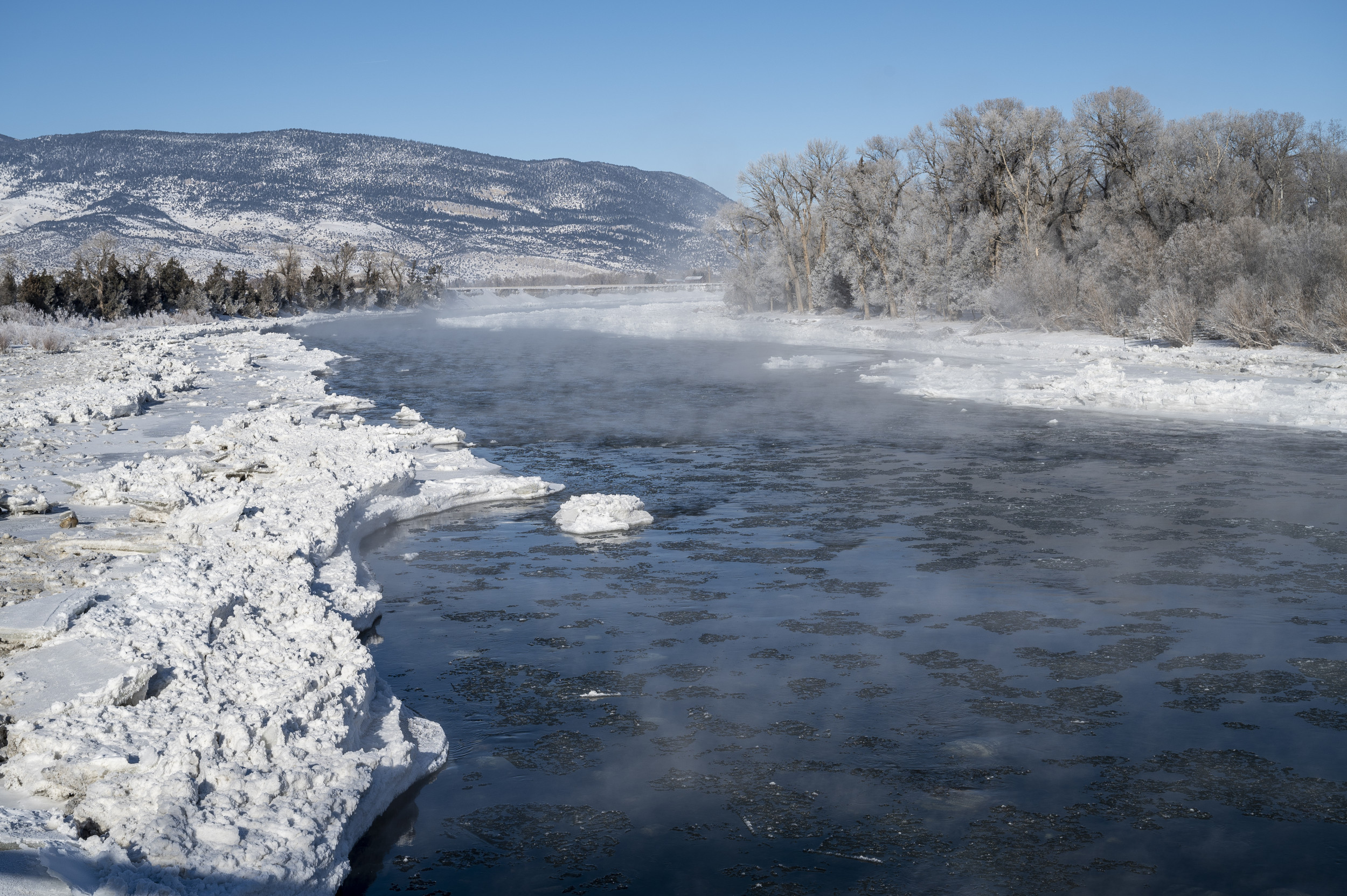
A late October storm is expected to bring “heavy” snowfall to parts of the American Northwest this week, according to the National Weather Service (NWS).
“‘Winter Is Coming,'” the NWS Weather Prediction Center warned of the storm on X, formerly Twitter, in an apparent reference to the popular motto from author George R.R. Martin’s fantasy series Game of Thrones. The storm is expected to bring snowy and icy conditions to parts of the Pacific Northwest, the Northern Rocky Mountains and the Northern Plains through Friday.
The storm began impacting the Pacific Northwest on Monday and started shifting Tuesday toward the Northern Rockies. Between Tuesday night and early Friday, “multiple waves of heavy snow” are expected to fall in parts of Montana and North Dakota, with many areas forecast to receive at least 8 inches of snow, according to a Tuesday afternoon NWS forecast. There is a “low chance,” which the NWS rated as 10 to 30 percent, that some spots could record as much as 18 inches of snow.
“This significant multi-day event will likely cause difficult travel conditions across the region,” forecasters said in a national NWS bulletin.
The Great Falls, Montana, area is expected to get between 8 and 12 inches of snow this week, one NWS Great Falls forecaster told Newsweek. This is the area’s first snowstorm of the season. The bulk of the snow is expected to fall between Tuesday night and Wednesday, after which, weather experts expect, there will be a brief break before snow begins falling again on Thursday.
Snow has fallen a handful of times in mid- or late-October over the last several years in the Great Falls area, though the local forecaster said there has been more autumn snow recently. Last year at about this time, the area reported about 4.2 inches of snow. Looking ahead to the winter season, January tends to be a drier month for Montana, with heavier snowfall often returning in February.
NWS Great Falls warned residents in multiple posts on X to be aware of their surroundings and keep their eyes out for icy road conditions and low visibility, both of which present risks for commuters.
In Billings, Montana, the local NWS office shared a photo on X showing snow already falling on a local highway. The temperatures in the area Tuesday afternoon were hovering at around 13 degrees Fahrenheit, the post said. Further east, the NWS office in Bismarck, North Dakota, warned on X that northwestern parts of the state could see “at least” 8 inches of snowfall between Tuesday night and Thursday night.

