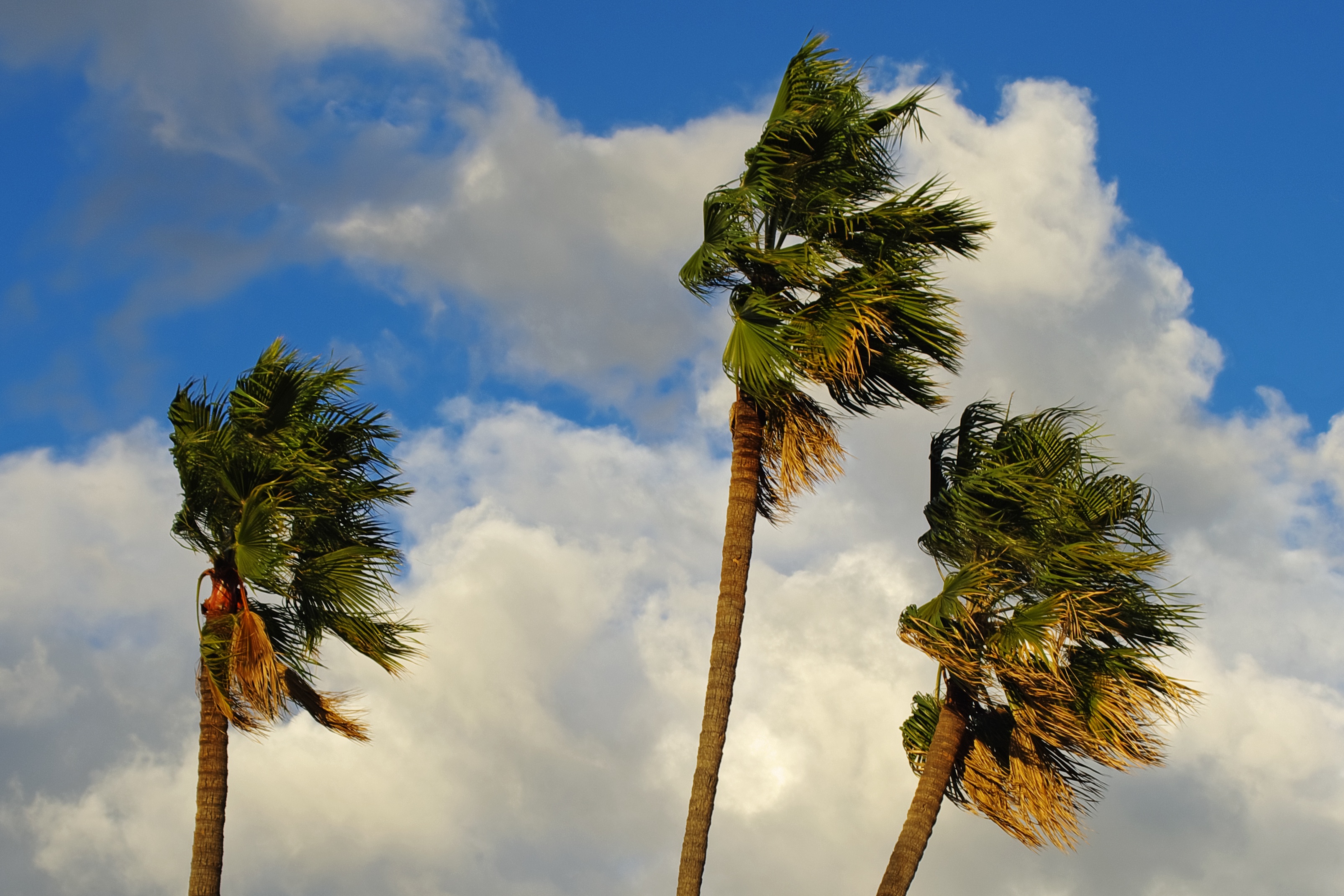
Santa Ana winds are expected to continue affecting much of Southern California on Monday, and the National Weather Service has released maps showing peak gust forecasts.
The winds come as strong high pressure settles over the Great Basin and Rockies, the NWS said in a forecast alert released early on Monday. Maximum gusts of up to 70 miles per hour are possible, prompting High Wind Warnings throughout the region.
Dry vegetation and low relative humidity are also combining to produce conditions that present a “critical” fire risk, the NWS said, with Red Flag Warnings issued for some parts of Southern California, such as in the Los Angeles region.
A Red Flag Warning means that critical fire weather conditions are either occurring now or will shortly.
“Use extreme caution with anything that can spark a wildfire. Residents near wildland interfaces should be prepared to evacuate if a wildfire breaks out,” the NWS said.
Santa Ana winds occur when air from a region of high pressure over the dry, desert regions of the southwestern United States flows westward towards areas of low pressure located off the coast of California.
This process produces dry winds that flow east to west through the mountain passages of Southern California. Such winds typically occur during the cooler months of the year—usually from September through May.
Santa Ana winds can be strong and have the potential to cause significant damage. They can also increase the wildfire risk because of their dry nature and potentially high speeds, which can help flames spread quickly.
Several factors contribute to the spread of wildfires, including high wind speeds, low air humidity, warm air temperatures, as well as both live and dead fuel moisture.
The very worst combination of these factors in California typically occurs in the fall, Robert Fovell, a professor in the Department of Atmospheric and Environmental Sciences at the University at Albany, previously told Newsweek.
“California has a Mediterranean climate, which means it’s winter wet and summer dry. Fire risk is highest in the autumn, after the long, dry, hot summer, but before the winter rains—when those do come,” he said.
The winds that are currently affecting Southern California represent the first Santa Ana event of the season. Among the areas affected, western Los Angeles County and eastern Ventura County will continue to be the focus of strong Santa Ana winds on Monday, NWS Los Angeles said in a post on X, formerly Twitter.
The map below shows peak wind gusts in the Los Angeles region, which will typically reach 40-60 miles per hour across wind-prone areas. Some areas in the mountains surrounding the city, meanwhile, may experience isolated gusts of up to around 70 miles per hour or potentially even higher.
A wind speed of 104 miles per hour has already been recorded at one location, the Magic Mountain Truck Trail, in the western San Gabriel Mountains—located north of Los Angeles—early Monday morning local time, figures from NWS Los Angeles show. This wind speed was recorded at an elevation of 4,482 feet.
High wind warnings have been issued for several parts of the Los Angeles region, active until 10 p.m. PDT Monday. These areas include the Santa Clarita Valley, central Ventura County valleys, Calabasas and Agoura Hills, western San Fernando Valley, southeastern Ventura County valleys, the Malibu Coast, the western Santa Monica Mountains Recreational Area, the Santa Susana Mountains, the Interstate 5 corridor, and the San Gabriel Mountains.
“Damaging winds will blow down large objects such as trees and power lines. Power outages are expected. Travel will be difficult, especially for drivers of high profile vehicles,” NWS Los Angeles said.
“People should avoid being outside in forested areas and around large trees. If possible, remain indoors and avoid windows. Use extra caution if you must drive.”
Red Flag Warnings are in effect for much of Los Angeles and Ventura counties through 10 p.m. local time Monday due to dangerous fire weather conditions resulting from strong Santa Ana winds and very low humidities. In addition, there is a risk of downed trees and power lines, as well as power outages.
The Los Angeles Fire Department has declared a city-wide Red Flag Alert that involves temporary parking restrictions in designated areas—in preparation for potential evacuations. The alert began at 8 a.m. PDT on Sunday and will remain in effect for at least 48 hours.
Other areas that will be affected by Santa Ana winds on Monday include the San Diego region. A peak wind gust map for this region can be seen above.
“Gusty Santa Ana winds will continue Monday for the coastal mountain slopes, foothills, and into the valleys,” NWS San Diego said in a post on X. “Very dry conditions will accompany these winds, with widespread single digit relative humidity. Periods of critical fire weather conditions will continue.”

